Why Landscape Architecture Firms Are Dumping 2D CAD
Why Landscape Architecture Firms Are Dumping 2D CAD

The noticeable shift from 2D CAD in landscape architecture is in part due to external pressures, such as the UK’s requirement for BIM level 2 framework on government-procured projects. Even where there’s no BIM mandate, there’s inherent pressure to deliver BIM files when working with consultants who’ve already matured their workflows with BIM.
Hanging onto 2D tools like AutoCAD for information modeling leaves landscape architecture firms in a dilemma. And it’s a dilemma more practitioners need to solve, especially if they’re to keep up with the BIM methodology that various other industries champion.
To properly incorporate 3D modeling with embedded data, 2D-focused firms must use several separate software programs (note: “programs” is plural!). It’s not uncommon for these firms to use 3 or 4 applications to put together a 3D concept and paying for 3 or 4 programs isn’t exactly the kindest to your wallet. That’s not to mention the cost of staffing when considering the amount of time spent working in multiple applications. This is all sounding painfully familiar, right?

The Advantages of 3D and BIM with Ares Landscape Architects
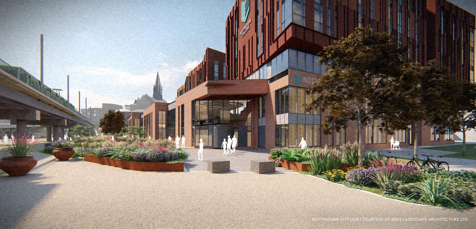
Ares Landscape Architects found themselves in that predicament under the BIM level 2 mandate for their Nottingham City Hub project. After years of an AutoCAD-based workflow, the firm needed a BIM-ready application and landed on Vectorworks Landmark for its cohesion between design and documentation, a huge draw as they started working jobs with BIM requirements.
Ares senior landscape architect Sam Bailey says that the project involved collaboration with architects using ArchiCAD and engineers using Revit, so it was crucial that the teams established expectations for file transfers. They relied on IFC.
“It just helps to make sure everyone is on the same page going forward, and it speeds up the coordination process,” Bailey said.

The collaborating teams established these standards in a BIM Execution Plan. Ares modeled the site in 3D, using the architects’ building model for context. The 3D model automatically generated 2D plans, not unlike the ones Ares used to produce in AutoCAD. Bailey said they worked in 3D from the very start of the project because they knew they would need to deliver 3D models eventually anyway.
Designing with data was instrumental to Ares throughout model creation. “All of the information is embedded in the object,” Bailey said. “If something should change, such as a plant species, it can be replaced easily.”
To illustrate: If Bailey were to propose a hardscape whose materials exceeded the budget, he’d be able to see that information in the hardscape’s linked worksheet. It would then be a matter of changing the material for something more cost effective, at which point the hardscape’s documentation would automatically update to reflect the change. It removes a lot of guesswork from budgeting and additionally speeds up change management. He’d only need to make the change in one place.
Once the site model was ready to share, Ares used Vectorworks’ built-in IFC specifications to tag geometry for export. The project architects then pulled all the models together in Solibri to check for clashes. The information manager on the project used Ares’ model to generate COBie (Construction Operations Building Information Exchange) data, another requirement for the project.
In the end, Ares’ 3D model became the source for a variety of outputs — 2D plans, plant and material schedules, IFC specifications, cost estimates, the list goes on — all without having to leave the Vectorworks design space.
Undeniable Efficiency with Purpose-Built Tools
Ares were able to centralize their BIM process with Vectorworks Landmark and save themselves from needing several software programs to finish the job. That’s what’s beautiful about this project: it highlights the numerous forces latent to the evolution of landscape architecture.

The need for 3D modeling, landscape-specific tools, and smart documentation of course stem from BIM pressures, but the story extends even beyond BIM. Using a design software that’s built specifically to negotiate these forces, simply put, makes a whole lot of sense.
See for yourself — click here for a full walkthrough of Ares’ Nottingham City Hub project with commentary from senior landscape architect Sam Bailey.
